

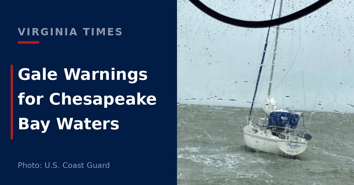
Gale warnings take effect Saturday for much of the Chesapeake Bay and waters off Virginia’s Eastern Shore, with wind gusts of 40 knots expected, the National Weather Service said Friday.
Seas off the Eastern Shore are forecast to reach 7 to 12 feet. The warning covers waters from Chincoteague to Cape Charles Light, extending 20 nautical miles offshore, from 7 a.m. EDT Saturday until 7 a.m. Monday.
North winds of 25 to 30 knots are expected there before shifting northeast Sunday morning. The agency’s Wakefield office cautioned that gale conditions could continue well into next week.
On the Chesapeake Bay between Smith Point and New Point Comfort, a gale warning runs from 7 a.m. Saturday to 7 a.m. Sunday. Forecasters expect north winds of 25 to 30 knots, gusts to 40 knots and waves of four to six feet.
Farther north, a warning begins at 6 a.m. Saturday and ends at 6 a.m. Sunday. It covers the bay between Sandy Point, Maryland, and Smith Point, Virginia; the tidal Potomac below Cobb Island; and Tangier Sound, including waters around Bloodsworth Island.
Winds in those areas are forecast at 20 to 30 knots from the north, with gusts to 40 knots and waves of three to six feet.
The weather service cautioned that rough water could overturn or damage vessels. It urged mariners to adjust their plans, remain in port, seek shelter or secure their boats.
Small Craft Advisories Begin Friday
Small craft advisories precede the gale warnings. An advisory runs from 9 a.m. Friday until 6 a.m. Saturday across Maryland’s bay waters, the tidal Potomac and several tributaries, with gusts reaching 30 knots.
Those waters include Baltimore Harbor and the Potomac between Key Bridge and Cobb Island.
Advisories for the Virginia bay waters between Smith Point and New Point Comfort begin at either 7 p.m. or 10 p.m. Friday, depending on location. Both end at 7 a.m. Saturday. The Eastern Shore coastal advisory runs from 7 p.m. Friday to 7 a.m. Saturday.
On the Rappahannock between Urbanna and Windmill Point, the York River and the James River between Jamestown and the James River Bridge, an advisory lasts from 10 p.m. Friday until 6 p.m. Saturday.
A gale watch follows on those rivers through Sunday morning, with gusts of 35 knots and waves of two to four feet possible.
Storms Friday, Frost Possible Sunday
On land, a few severe thunderstorms could produce damaging winds Friday afternoon and evening across Northern Virginia, Maryland and Washington.
The Baltimore/Washington office’s 5:21 a.m. outlooks include Fairfax, Arlington, Alexandria, Loudoun and Prince William. Storms are possible earlier in the afternoon farther west and later along the Interstate 95 corridor.
Across central and eastern Virginia and southeast Maryland, scattered storms could produce strong to severe gusts before a cold front passes late Friday evening and overnight.
Morning fog poses a separate concern in parts of southwest and west central Virginia. Visibility could fall to a quarter mile or less around communities including Blacksburg, Radford, Wytheville, Galax and Covington. Drivers were advised to allow extra travel time and use low-beam headlights.
Frost and freezing conditions are possible west of I-95 Saturday night into Sunday morning, with widespread frost and freezes possible farther inland.
The Blacksburg office expressed high confidence in frost and pockets of freezing temperatures across parts of southwest and west central Virginia early Sunday, with temperatures falling into the upper 20s and lower 30s.