

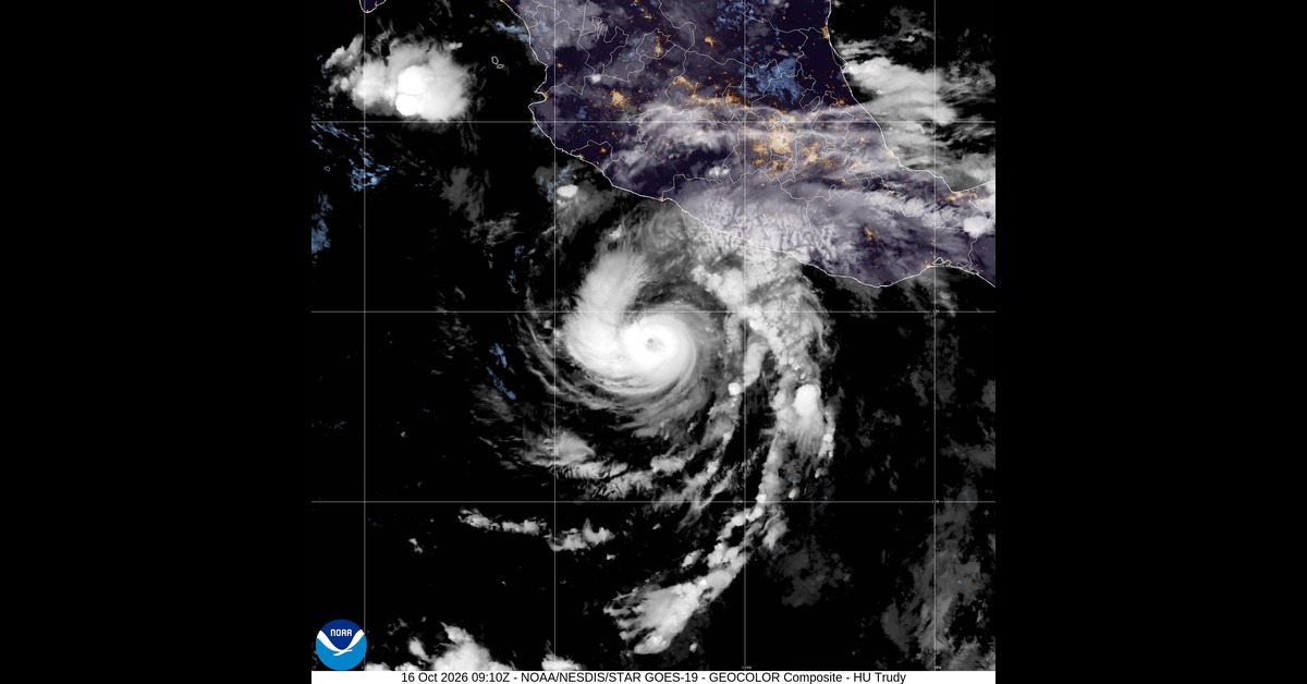
Hurricane Trudy carried 120 mph winds Friday as it headed toward Mexico’s Pacific coast, where heavy rain could cause life-threatening flooding this weekend, the National Hurricane Center warned.
At 6 a.m. CST, the Category 3 hurricane was about 240 miles southwest of Acapulco and 335 miles south-southeast of Manzanillo. It was moving northwest at 6 mph.
Trudy had changed little in strength over the previous few hours. Forecasters expect it to strengthen through Saturday and remain a major hurricane when it comes closest to Mexico.
The forecast takes its center toward the southwestern and west-central coast Saturday, then near the coast Saturday night into Sunday.
A hurricane watch covers the coast north of Punta San Telmo to Cabo Corrientes. From Manzanillo south to Zihuatanejo, a tropical storm warning is in effect.
Tropical storm conditions are expected in the warning area late Friday night or early Saturday. In the hurricane watch area, those conditions are forecast to begin Saturday, followed by possible hurricane conditions late Saturday.
The rainfall forecast calls for 4 to 8 inches through the weekend along and near the coast in Michoacan, Colima and Jalisco. Isolated amounts could reach about 12 inches.
The hurricane center warned that the rain could cause life-threatening flooding and mudslides, particularly near steep terrain.
Guerrero’s southwestern coast is expected to receive 2 to 4 inches from Trudy’s outer bands, with isolated totals around 6 inches. That could cause localized flash flooding through the weekend, especially near steep terrain.
Along the coast, winds blowing onshore could push storm surge into coastal areas. Large, destructive waves would accompany the surge.
Swells are already affecting parts of southwestern Mexico and are expected to spread north toward the west-central coast over the next few days. They are likely to cause life-threatening surf and rip currents.
Trudy’s hurricane-force winds reach up to 30 miles from its center. Tropical-storm-force winds extend much farther, up to 140 miles. Its minimum central pressure was estimated at 956 millibars.
The storm is forecast to move north-northwest to northwest and pick up a little speed over the next few days. Some weakening is expected later in the weekend and into early next week.
Friday morning’s advisory made no changes to the watches or warnings. Forecasters said additional alerts would likely be needed later Friday and urged people elsewhere in southwestern and west-central Mexico to monitor Trudy’s progress.